Real Estate Property Intelligence
Access instant & accurate property condition data for origination, valuation, and due diligence
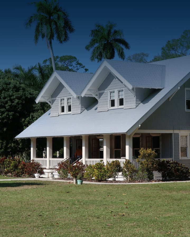
CAPE® provides inspection-quality condition data derived from aerial imagery via advanced computer vision algorithms for 100+ million unique structures across the United States and Canada.
Fill gaps and errors in traditional data with new condition and location variables that provide a significant lift to valuation and risk models.
CAPE’s real estate property intelligence provides key insights that help decision-makers with origination, acquisition, and asset management.
Product Overview
CAPE provides inspection-quality condition and property characteristics data for 110 million unique structures across the United States, derived from aerial imagery via advanced computer vision. Fill gaps and errors in traditional data with new, unique variables that provide significant lift to valuation and pricing models.
Gain access to neighborhood, census, or zip code-level condition data to zero in on promising regions and improve your investment decisions. See aggregate changes over time to understand directional movement and trends.
CAPE’s AI-powered Liquidity Score can be used across the market to predict home liquidity. This powerful and unprecedented metric correlates strongly to AVM error, price uncertainty, prepayment risk, rent potential, rental expenses, and likelihood of vacancy.
CAPE automatically detects factors that affect property value, including location factors such as distance to highways and bodies of water, and even the type of view visible from each property— characteristics missed by existing data sets.

CAPE provides
actionable insights
-
“CAPE Analytics picks up where standard industry solutions leave off. While drive-by valuations and AVMs are part of a standard suite of valuation tools, CAPE's ability to remotely and instantly gather consistent property characteristics across the country is a unique and powerful solution to a longstanding problem in the mortgage industry.”
Benefits
Expedite the analyst review process and improve the bid price with a dramatically enhanced understanding of the actual property condition and features. Win the bids you want to win and minimize the risk of acquiring bad collateral by detecting and removing the worst assets in due diligence.
Feed your AVM, credit, rental, and rehab models more complete and accurate data to improve their performance and your overall portfolio returns.
Improve loss mitigation strategies, prioritize capital spending decisions, and monitor the condition of portfolio properties over time-especially after substantial weather events.
Shave days or weeks off of the loan origination process and save on assessment costs with instant insights that provide a better member experience and allow more loans to be written.
-
Learn more about our real estate offering
Overview Video: Real Estate Property Intelligence

Featured solution:
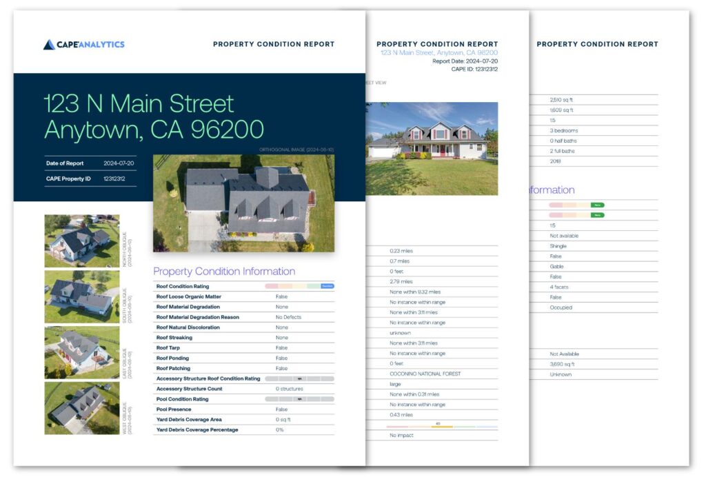
The CAPE aPCR (Automated Property Condition Report) can be accessed via API or in a convenient PDF document. It includes detailed information on property features such as the presence of a pool or solar panels, property condition elements such as roof or pool condition, and location factors measuring the distance to important objects like highways, railways, or bodies of water.

Read The Latest in Real Estate Property Insights