Wildfire Intelligence
Understand residential and commercial wildfire risk with surgical precision
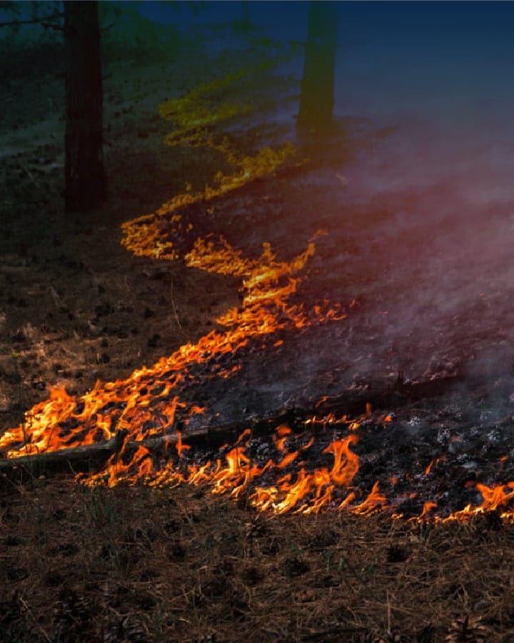
Between 2016 and 2020, over 60,000 structures in the U.S. were lost to wildfire—more than double the total number in the preceding decade. Wildfires are growing in ferocity, frequency, and footprint, and carriers need more granular assessment tools to manage this compounding risk.
CAPE® Wildfire Intelligence brings together cutting-edge geospatial AI, multiple imagery providers, and deep hazard components — all in a single solution.
Key in on Property and Structure-Level Wildfire Risk, Combining Hazard, Vulnerability, and Risk Mitigation Options
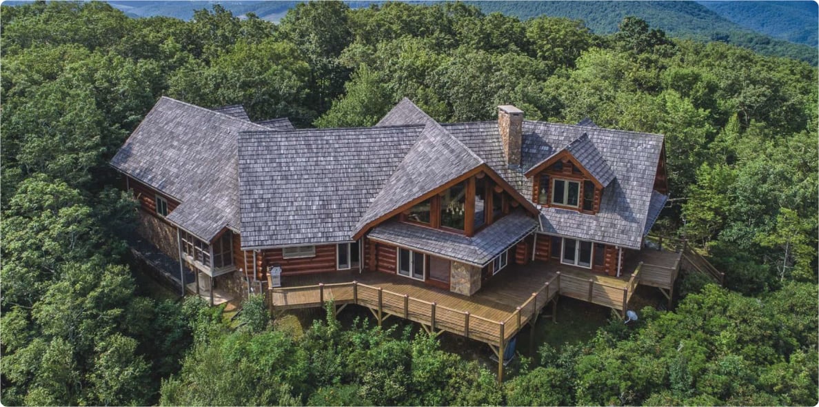
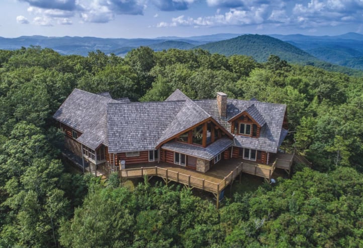
The highest resolution imagery available and full U.S. geographic coverage, with the pioneering scale, speed, and accuracy of CAPE’s overlaid analytics, can power decisions that future-proof your business.
 1
2
3
4
5
1
2
3
4
5

Take Action With Unprecedented Granularity & Transparency
CAPE’s transparent analytics inform carriers and homeowners of the contributing factors to a property’s wildfire risk, actions that can be taken to mitigate that risk, and the quantified impact such actions will have on both risk and rate.
Overall Risk Rating: Very High
Vulnerability Rating:
High Risk
Key Factors:
Zone 1 Vegetation: 34%
Zone 2 Vegetation: 27%
Structure Density: 22%
Hazard Score
High Risk
Mitigation Potential
Low Vulnerability
Key Factors:
If Zone 1 and 2 vegetation is reduced

Integrate CAPE Wildfire Intelligence to:
- 01 Get a holistic view of risk for every property
- 02 Underwrite and price with confidence in any area
- 03 Empower your customers with clear mitigation strategies that have a quantifiable impact on risk and rate
- 04 Comply with new state regulations, such as mitigation requirements in California
-
“At Hippo, we’re committed to helping homeowners proactively protect their property. With the level of data maturity and intelligence we’ve found through our integration with CAPE, we have the tools to quickly evaluate property-specific risk and provide our customers with actionable insights and updated coverage to keep their homes fully insured and risk-free.”
Leverage CAPE’s suite of wildfire risk ratings or standalone, loss-predictive attributes
Material
Density
Footprint
Deck
Size
CAPE Wildfire: Overall Risk Rating
Merges regional hazard level with address-level vulnerability for the most holistic view of risk available.
CAPE Wildfire: Hazard Score
A local view of wildfire risk, including wind zones, rainfall, historic wildfire boundaries and burn points, fuel loads, and more…
CAPE Wildfire: Vulnerability Rating
A view of wildfire risk specific to each property, from vegetation and nearby building density to construction characteristics.
CAPE Wildfire: Mitigation Potential
The vulnerability of a property if mitigation were to be completed by the homeowner, for proactive customer engagement and new business opportunities.

Read Our Latest Wildfire Insights:
A key component of wildfire safety
CAPE Wildfire Intelligence is built using the latest research and findings from the Insurance Institute for Business & Home Safety, which tests structural vulnerability to wildfire in real-world conditions.

Expand your business
Hundreds of thousands of homes in high and very high-risk areas across California could have favorable vulnerability profiles if proper mitigation actions are taken.