CAPE Analytics and Vexcel Enter Strategic Imagery Partnership to Enhance CAPE’s AI-Powered Property Intelligence Products
New partnership with Vexcel Data Program increases CAPE’s coverage to over 99% of U.S. households and adds access to post-disaster imagery.
Palo Alto, California and Centennial, Colorado — June 18, 2024 —
Today, CAPE Analytics, the leader in AI-powered property insights for insurance and real estate risk, and Vexcel, the global leader in aerial imaging, are announcing an expansive new partnership. The new partnership provides CAPE with aerial imagery at a resolution, accuracy, coverage, and recency to boost its property insights and expand its product footprint in the United States, Canada, and Australia.
For the last decade, CAPE Analytics has pioneered predictive property risk insights now relied upon by over 80 enterprise clients, including most of the top 30 homeowners insurance carriers in the U.S., and the largest investment banks in the world. CAPE generates and instantly delivers 80+ powerful property analytics at massive scale, with insights ranging from current roof condition, roof age, and living area to hail and wildfire risk scores. These insights allow insurance carriers, financial institutions, and home and business owners to understand, manage, and mitigate property-level risk with unprecedented granularity. CAPE’s use of Vexcel’s high-resolution orthomosaic imagery furthers the company’s mission to provide clients with the most comprehensive, timely, and reliable property risk analytics available anywhere.
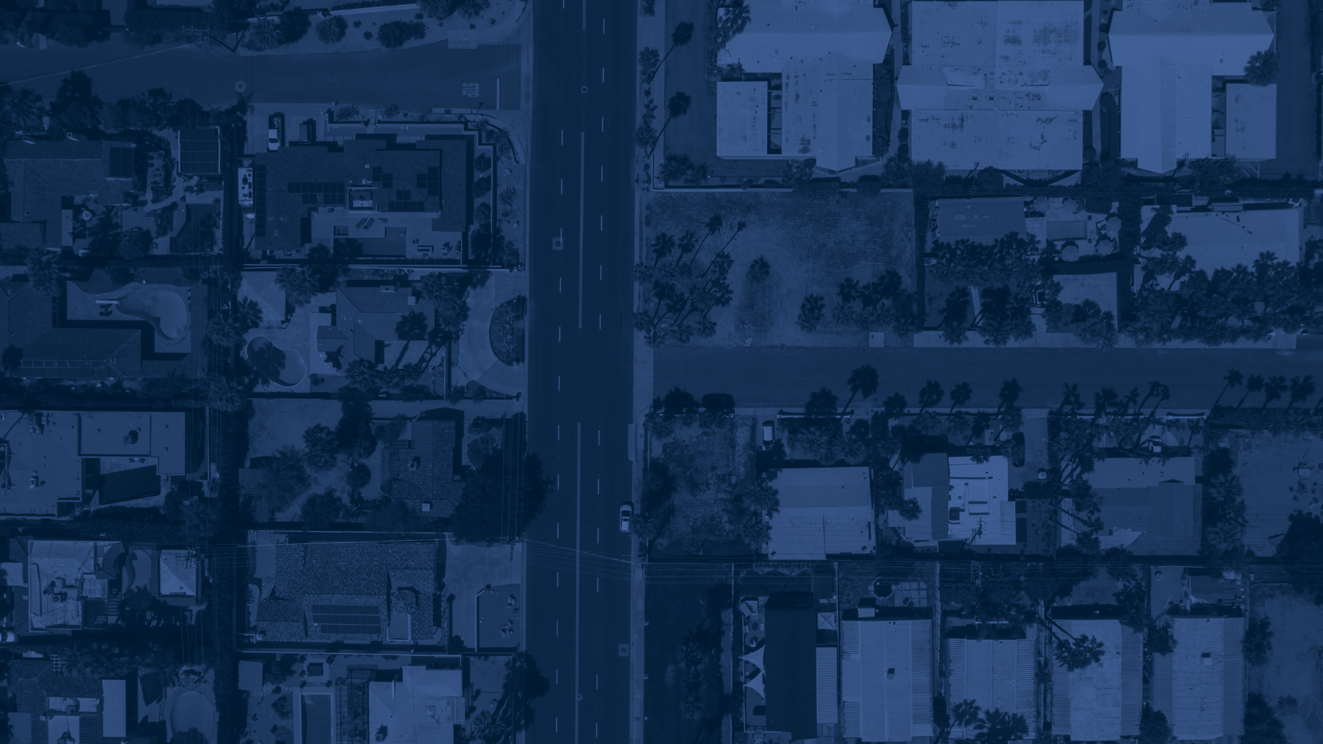
Vexcel’s aerial imagery library covers 99.6% of the U.S. population and includes over 127 million households. The company refreshes its aerial imagery in urban areas up to three times per year in the U.S. In 2024, Vexcel is on track to capture 4.4 million square kilometers in the U.S., refreshing imagery for 93% of the U.S. population. Vexcel also regularly collects and updates aerial imagery in urban areas of Canada, Australia, and New Zealand. With such a vast imagery library, the partnership will over time expand CAPE’s geographic scope to new states, like Hawaii, rural areas in the U.S., and new countries, such as New Zealand. Within days of major weather events impacting properties, CAPE will also provide clients with options for accessing Vexcel’s post-disaster Gray Sky imagery and associated analytics from CAPE.
“CAPE Analytics’ long-term partnership with Vexcel marks a transformative step in enhancing our market-leading property intelligence solutions. Powered by Vexcel’s extensive imagery coverage, CAPE will continue to deliver the most precise, reliable, and up-to-date property risk analytics available,” said Ryan Kottenstette, CEO of CAPE Analytics. “We look forward to this partnership bringing significant value to insurance carriers and real estate stakeholders.”
“Over the past few years, we’ve significantly expanded our aerial imagery programs in the U.S. and around the globe. We are thrilled to announce our partnership with CAPE Analytics and look forward to seeing how our best-in-class imagery will enable and enhance their innovative property analytics across multiple countries,” said Erik Jorgensen, CEO of Vexcel.
Vexcel ensures high quality in its Data Program by managing every pixel collected. This includes using its own market-leading cameras, a dedicated fleet of aircraft, and a world-class imagery processing pipeline. Its high-resolution imagery is consistent across collection areas and is calibrated against ground control points to achieve mapping-grade accuracy. These features and many more make Vexcel’s imagery highly optimized for AI and property analysis.
About CAPE Analytics
CAPE Analytics provides AI-powered, geospatial property intelligence for buildings across the United States, Canada, and Australia. CAPE enables residential and commercial property stakeholders, including insurance carriers and financial institutions, to access valuable and predictive property insights and risk scores instantly. CAPE property intelligence offers the accuracy and detail that typically require an on-site inspection but with unparalleled immediacy and coverage. Founded in 2014, CAPE Analytics is backed by leading venture capital firms and insurers and is led by machine learning, data infrastructure, and property risk experts.
Learn more at www.capeanalytics.com
About Vexcel
For over 30 years, Vexcel has been the industry leader in the photogrammetric and remote sensing space, building market-leading UltraCam sensors, and providing a comprehensive library of cloud-based geospatial data. The Vexcel Data Program is the largest and most accurate aerial imagery program in the world, collecting high-resolution imagery and location intelligence in 40+ countries. Its dedicated fleet of fixed-wing aircraft capture imagery in the U.S., UK, Canada, Australia, New Zealand, Japan, and across Western Europe. Its comprehensive aerial data library better informs and helps a variety of industries, such as Government, Telecom, Utilities, Insurance, AEC, Energy, Technology, HD Mapping, and more.
More at: www.vexceldata.com.