Drones, Fixed-Wing, Satellite: Deciphering The Spectrum of Geospatial Imagery Sources

It was only a few years ago that the insurance industry started to ditch ladders and manual inspections of homes for aerial imagery solutions. Aerial imagery has proven to expedite critical processes across the insurance value chain by providing a top-down view of a property in place of – or supplementing — a traditional drive-by assessment.
But while insurers have moved in the right direction, manual image reviews of Google Earth by a claims adjuster or underwriter are still common practice throughout the industry. Not only is this not a scalable process, but it also requires employees to pull up an address, squint at photos, and make a subjective judgment call to assess a particular property.
Today, advanced technologies can unlock the potential of this growing data source. Artificial intelligence and predictive analytics can turn photos into structured data. Integrating this data directly into workflows can, in turn, automate or optimize decision making for carriers—thereby creating greater ROI and achieving much larger operational scale.
The question for insurers is how they should be assessing the growing number of options on the market. One major evaluation point is determining the types of imagery in use by geospatial data providers today, and the benefits each type provides within the carrier workflow.
The following is a brief guide for how insurers can think about the spectrum of imagery capture sources, their compatibility with AI solutions, and the subsequent insurance use cases tied to each.
Drones: Also known as unmanned aerial vehicles (UAVs), drones offer the highest photo quality of the three imagery solutions (drone, fixed-wing, satellite) at the industry’s disposal. With photos taken at up to .5-centimeter resolution, carriers are able to see hail strikes or subtle water damage on roofs.
However, drones cover less than 1 percent of the U.S. housing stock, due in part to flight restrictions imposed by the Federal Aviation Administration and their limited range. Using UAVs is also an “on request” service, meaning that insurers must fly over specific addresses and imagery is not refreshed unless a new request is made.
This high resolution and targeted approach makes drones the perfect solution for claims triage after first notice of loss—suitable for individual properties or neighborhoods—but not for use at a scale necessary to train and support AI-driven use cases in underwriting, quoting, or rating.
Aerial: With aerial, or fixed-wing aircraft, we find the opposite to be true. Planes mounted with cameras offer an ideal middle ground between drones and satellite coverage—with the clarity needed to support underwriting use cases. While the image resolution of 6 centimeters is slightly below that of a drone, fixed-wing imagery is still of high enough quality to make out missing shingles, vegetation, debris, tarps, or water pooling.
Today, imagery derived from fixed-wing aircraft covers 85 percent of the U.S. population and offers a higher update frequency. On average, insurers can pull new images of populated areas every three to four months, as opposed to smaller batches of property data at random periods. This refresh rate allows for carriers to have a consistently up-to-date view of properties in their portfolio but may not be frequent enough to support post-event analysis in all cases. The quantity of available aerial imagery also surpasses the threshold needed to train accurate AI systems. Once a well-trained model is in place it can also process drone or satellite imagery, but the initial training necessitates large quantities of imagery.
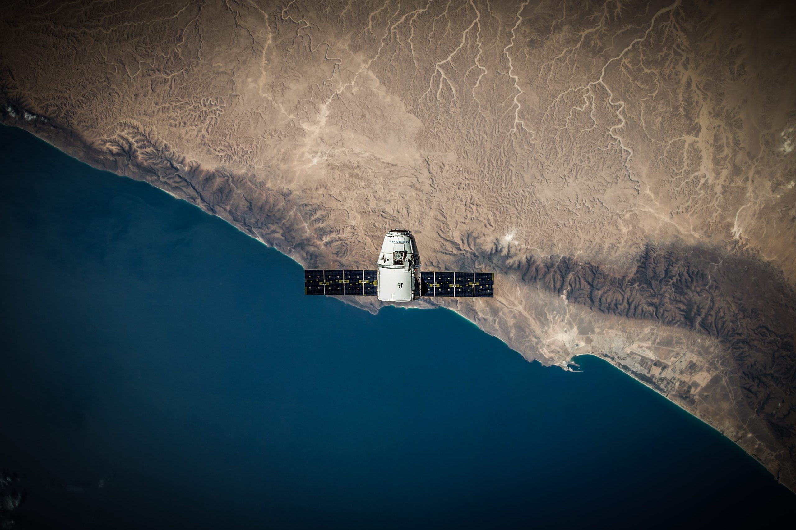
Satellite: While drones offer crystal clear images on request, satellites are on the other end of the spectrum. Satellites orbit the earth year-round; snapping photos as regularly as every week, albeit at a lower, 30-centimeter (12-inch) resolution.
The upside of satellites are that they give insurers a complete view of the planet and therefore the entire built environment; even the extremely rural areas that aircraft rarely fly over for the purposes of capturing imagery. Satellite imagery is ideal for monitoring CAT events and damage from wildfires, tornados, earthquakes, or floods. Due to its low resolution, however, satellite imagery has limited usefulness for accurate underwriting and capturing loss-predictive property features. Satellite imagery can supplement an AI system via transfer learning, but is not yet high-enough resolution to generate the most accurate results on its own.
So where does Cape Analytics fall in this spectrum? Today, Cape Analytics focuses on applying AI to aerial, fixed-wing imagery, automatically analyzing imagery, and then providing accurate property information for improved quoting, underwriting, and rating. We are also actively integrating satellite imagery for more geographically remote use cases, such as property-level wildfire vulnerability assessments. Over time, by combining both aerial imagery and satellite coverage from multiple providers, we are ensuring our living database of property intelligence is regularly updated with the most accurate, complete, and loss-predictive information.
While assessing imagery-based data providers, some carriers may also ask whether they can build such a solution themselves.
Many carriers today are actively using drones for more efficient claims assessment. However, building an imagery-based solution for underwriting is far more technologically complex and resource-intensive, due to the amount of imagery and speed of analysis necessary to support such use cases.
For example, to make our solution a reality, Cape Analytics has labeled over 25 million images of homes across the U.S. and has built infrastructure capable of serving AI-derived data for over 80 properties per second.
Ultimately, we believe underwriting-focused solutions check more boxes for carriers by improving quote accuracy, refining risk selection, and optimizing inspection processes at new business and at renewal. These benefits bear out before a claim is ever filed, minimizing losses over the long term.
As carriers look at the wide world of aerial-based data, they will have to decide which use cases they believe will drive the greatest value and benefit – both for their business and their customers. From there, it is easier to make a decision around the technology providers and imagery inputs that can help an insurance carrier reach their goals.

