CAPE Analytics Expands Wildfire Analytics Coverage to the Full United States With Maxar’s SecureWatch

Maxar’s high-resolution satellite imagery will improve coverage and recency for rural regions, pushing CAPE’s total coverage to the full United States
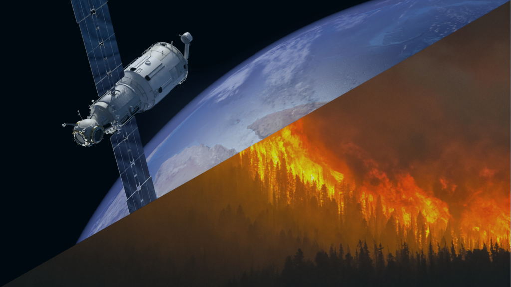
Mountain View, Calif. (October 11, 2022) – Today, CAPE Analytics, the leader in AI-powered geospatial property intelligence, is pleased to announce its collaboration with Maxar, a provider of comprehensive space solutions and secure, precise, geospatial intelligence. CAPE will integrate Maxar’s high-resolution satellite imagery via the SecureWatch platform to strengthen its Wildfire Intelligence product suite. This innovative offering provides property stakeholders with the information necessary to mitigate wildfire risk through analyses of property-level characteristics, such as vegetation density and structure footprints, alongside risk scores and other tools.
As wildfires continue to devastate western and midwestern states, it will become more important for property owners and insurance companies to understand and mitigate wildfire risks at their properties. Maxar’s SecureWatch platform provides on-demand access to the company’s industry-leading satellite imagery and Vivid basemaps through both a web application and Open Geospatial Consortium standard API request. The SecureWatch API will seamlessly and efficiently feed fresh imagery collections into CAPE’s artificial intelligence environment to ensure current and accurate evaluations of properties.
This workflow will also deliver improved coverage for rural and wildland-urban interface regions – completing full geographic coverage of the United States. With the integration of Maxar imagery, CAPE Wildfire Intelligence will provide clients with nationwide risk assessments that include defensible space, vegetation encroachment, distance between structures, and possible mitigation opportunities to reduce property vulnerability.
“Preventing the spread of wildfires and minimizing the loss of lives and homes when fires occur has become more important over the years as the wildfire threat has increased,” said Dan Nord, Maxar’s Senior Vice President and General Manager of Enterprise Earth Intelligence. “By combining Maxar’s SecureWatch for consistent, repeatable ingestion of high-resolution imagery at scale with CAPE Analytics’ AI and machine learning, we’ll help homeowners and insurers take steps to protect their homes and property with cutting-edge technology.”
As insurance carriers prepare to navigate the changing regulatory and risk environment around wildfires, trustworthy and transparent wildfire risk analytics are becoming increasingly important for the insurance industry. These analytics include a cost-effective understanding of vegetation, structure location, and change over time – all of which can be uncovered with precision utilizing Maxar’s satellite imagery. Such capabilities are invaluable to property stakeholders, as 60,000 structures in the United States were lost to wildfire between 2016 and 2020 – more than double the total number from the preceding decade.
“The importance of a comprehensive wildfire solution for insurance carriers cannot be understated, particularly in rural, wildfire-prone regions,” said Scott Moore, VP of Sales at CAPE Analytics. “Through our work with Maxar, we now have enhanced coverage and recency for rural areas – pushing to full national coverage.”
Read more about CAPE Wildfire Intelligence using Maxar’s SecureWatch here.
About CAPE Analytics
CAPE Analytics provides instant property intelligence for buildings across the United States and Canada. CAPE Analytics enables residential and commercial property stakeholders to access valuable property attributes instantly, with the accuracy and detail that typically requires an on-site inspection, but with unparalleled immediacy and global scale. Founded in 2014, CAPE Analytics is backed by leading venture capital firms and insurers and is comprised of machine learning, data infrastructure, and property risk experts.
About Maxar
Maxar Technologies (NYSE:MAXR) (TSX:MAXR) is a provider of comprehensive space solutions and secure, precise, geospatial intelligence. We deliver disruptive value to government and commercial customers to help them monitor, understand and navigate our changing planet; deliver global broadband communications; and explore and advance the use of space. Our unique approach combines decades of deep mission understanding and a proven commercial and defense foundation to deploy solutions and deliver insights with unrivaled speed, scale and cost effectiveness. Maxar’s 4,400 team members in over 20 global locations are inspired to harness the potential of space to help our customers create a better world. Maxar trades on the New York Stock Exchange and Toronto Stock Exchange as MAXR. For more information, visit www.maxar.com.
